Aerial Photos


If you or someone you know is in crisis, get confidential and immediate support, 24/7/365,
by calling Colorado Crisis Services. Toll Free: 1-844-493-(TALK) 8255
Newsroom
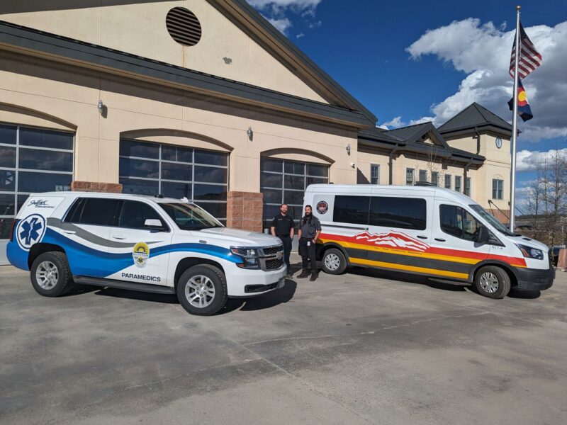
Driving change
SPAD improves access to care through regional collaboration, improving access to behavioral health and other services to marginalized and geographically isolated populations.